|
DISTANCE - 13,9 KM
ELEVATION GAIN - 393 M
ELEVATION LOSS - 1114 M
|
MAX. ALTITUDE - 2107 M
MIN. ALTITUDE - 1370 M
DURATION - 5 H 20 MIN
|
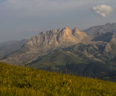
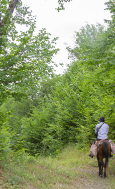
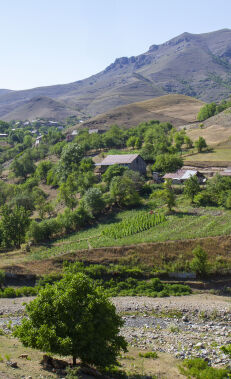
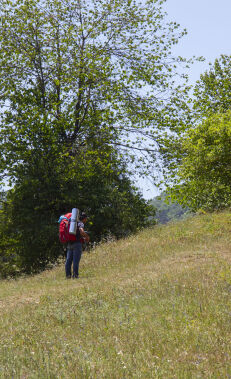
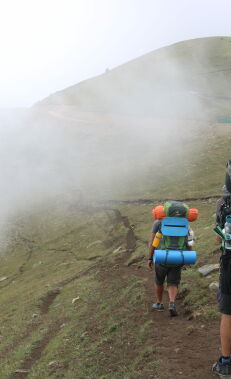
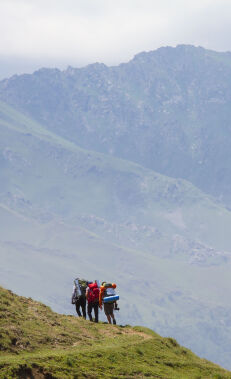
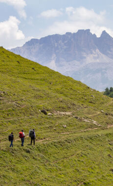
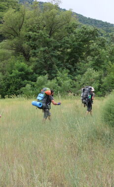
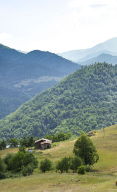
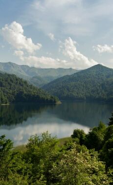
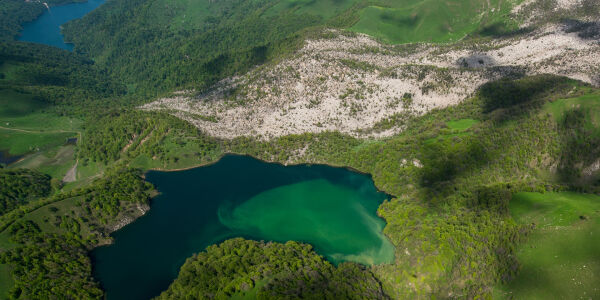
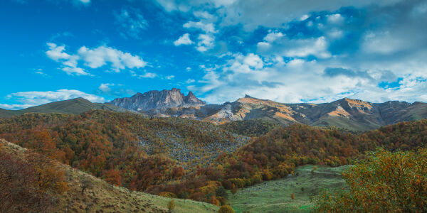
The route begins in Chiragli village, located on the right bank of the Ganjachay river valley. Mount Goshgar is visible from all sides of the village. There is a monument to Javad Khan (the last khan of Ganja) at the top of the Javadkhan peak. The monument, unveiled in 2016, features a profile of Javad Khan with the coat of arms of Ganja, his sword and a spear-shaped iron fence symbolising his army. The majority of the route is a dirt road, while the rest is mountain paths. The paths are clearly visible everywhere and are fully marked. The initial 4.6km of the route is primarily uphill. After 1.5km from the upper exit of the village you come to a crossroads. Go straight here and after 3.1km you will come to a cemetery, where you need to turn left. The following 2km is relatively flat and the rest of the route is downhill until Chiragli village. The part of the route before the cemetery is mostly a sparsely forested area, while the rest consists of bare treeless areas.
Although Chiragli village is located in the Dashkasan region, it is only accessible by vehicle from the Goygol region.
It is also possible to hike this route the opposite way.
Nearby trails
You can connect this hike with the Javadkhan – Azgilli, Chiragli – Azgilli and Chiragli – Dastafur trails.
Seasonality
You can walk this route in all seasons.
Food and accommodation
There are no shops in Chiragli village or along the way. So please take care to buy supplies before the trip.
Water
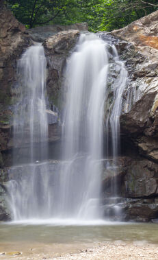
There is a spring 1km to the left of the information board. There are 5 more springs along the route, as well as some in Chiragli village.
Transportation
There is no road for cars to Chiragli village from the Dashkasan region. It is possible to reach the village from both Kollu and Dastafur villages on foot (4.1km and 8.5km respectively), as well as by either driving or walking from Azgilli village. Azgilli is the last village in the Goygol region, located on the border with Dashkasan. The only road for cars to Azgilli is from Togana village. You can reach Togana village by bus or taxi from the Goygol region bus station. An off-road vehicle is needed in order to get to Azgilli village from Togana village. You can arrange an off-road vehicle at the entrance of Goygol National Park. The beginning of the route is at the upper exit of the village.
Permits & Specially Protected Areas
No special permissions are required to hike this route.
Warning
There might be shepherd camps in the area after the cemetery between the months of May and October, so be careful of shepherd dogs there. At the same time, you can approach shepherds should you need any help.


