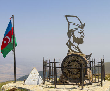
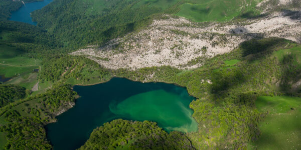
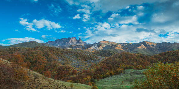
The final point of the route is the Javadkhan peak. There is also an ancient Albanian temple at the summit. The temple is not in good condition, though, as part of the wall has collapsed. There is also a monument to Javad Khan. The monument, opened in 2016, is made in a special style and consists of the profile of Javad Khan, the coat of arms of Ganja, the sword of Javad Khan and an iron fence in the shape of a spear, symbolizing the Khan's army.
Download the map|
DISTANCE - 13 KM ELEVATION GAIN - 940 M ELEVATION LOSS - 384 M |
MAX. ALTITUDE - 2107 M MIN. ALTITUDE - 1554 M DURATION - 6 h 5 MIN |
The paths are clearly visible and fully marked everywhere. Follow the directional signs. The road turns to the left in the direction indicated by the sign next to the information board and continues 1.8km uphill. After the ascent, the road passes through a flatter area for 1.9km, after which you need to come off the road for cars and head right towards the hill. Then, you need to cross over the hill in front of you and continue to the left. A beautiful view opens up in this area. It is also possible to go left and not pass over the hill. After walking for 1.7km to the left, follow the path going to the right of the mountain in front of you, and after 1.6km you will end up on a dirt road. As you go further along the dirt road you will notice that it turns left, but you need to continue straight here. You will reach an information board 2.5km after this crossroads. There is another crossroads near the information board. After ascending 700m along the road going left, you will reach the peak of Javadkhan. The road going right continues to a road to the settlement of Hajikand. The trail is marked to the Javadkhan peak. The first 4.15km and final 4.1km of the route are dirt roads, while the rest consists of mountain trails. From start to finish, it is mostly a steep and relatively straight road, with a small descent of 500m in one area.
It is also possible to do this hike the opposite way.
Nearby trails
You can connect this hike with the Azgilli – Chiragli and Chiragli – Dastafur trails.
Seasonality
You can walk this route in all seasons. But be careful of shepherd dogs in the period between May and October.
Food and accommodation
There are no shops in Azgilli village or along the way. So please take care to buy supplies before the trip.
Water
There is a spring 1km to the left of the information board. There are 2 more springs along the route, as well as some in Azgilli village.
Transportation
You can get to Togana village by bus or taxi from the Goygol region bus station. An off-road vehicle is needed in order to get to Azgilli village from Togana. You can arrange an off-road vehicle at the entrance of Goygol National Park. Also, you can agree with the driver to wait for you and take you back as well.
Permits & Specially Protected Areas
There are military bases in the lower and upper parts of the village. It is forbidden to take pictures of these buildings and enter their territories. Since the lower road passes through the territory of the military base, it is not for public use.
Warning
There are shepherd shelters in the area after the first ascent from the village of Azgilli from May till the end of October, so you need to be careful of shepherd dogs there. At the same time, if you get lost or caught in bad weather you can approach the shepherd shelters for assistance.
Azgilli – Javadkhan trail
bookan adventure
Choose from a wide range of places to stay and tours to enjoy for the ultimate Azerbaijan travel experience.
other experiencesin Goygol
Hiking along the Chiragli trail-Javadkhan peak
Walking along this route which connects the Goygol and Dashkasan regions, you can enjoy magnificent... More
Hiking along the Soyugbulag – Mahrasa Temple trail
Walking along this trail connecting the Dashkasan and Gadabay regions, you can see the Maiden... More
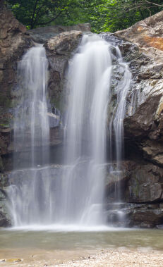
Hiking along the Amirvar – Mahrasa trail
Following this trail connecting the Dashkasan and Gadabay regions, you can see the Maiden Tower,... More
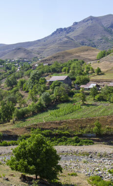
Hiking along the Chiragli – Dastafur trail
This trail connecting the Dashkasan and Goygol regions begins in the uniquely beautiful Chiragli village,... More
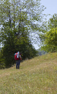
Hiking along the Dastafur – Chiragli trail
This trail connecting the Goygol and Dashkasan regions begins in Dastafur village, located on the... More
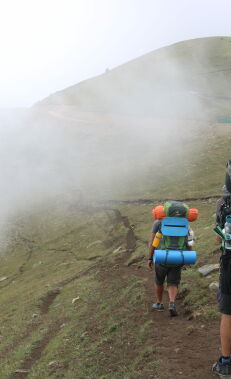
Hiking along the Chiragli – Azgilli trail
Walking along this trail connecting the Dashkasan and Goygol regions, you can see magnificent views... More
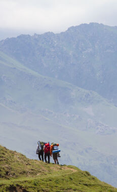
Hiking along the Javadkhan peak – Chiragli trail
Walking along this route, which connects the Javadkhan peak with Chiragli village and therefore the... More
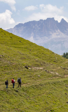
Hiking along the Javadkhan – Azgilli trail
Walking this route, which connects the Javadkhan peak with Azgilli village, you can enjoy magnificent... More
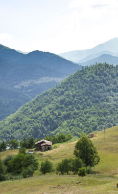
Hiking along the Azgilli – Chiragli trail
Walking along this trail connecting the Goygol and Dashkasan regions, you can enjoy magnificent views... More
Tour the Goygol Winery
Since 1860, Helenendorf, currently Goygol, is known as the birthplace of the wine industry in... More
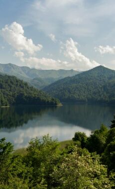
Be inspired by Lake Goygol
Located in the Goygol National Park, Lake Goygol is beloved by Azerbaijanis for its crystal-clear water... More
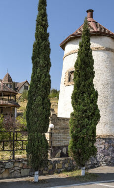
Visit German-inspired Goygol
Ganja has an interesting culinary take on different delicious desserts and dishes. Don't forget tasting... More


