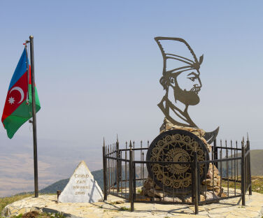
There is a monument to Javad Khan (the last khan of Ganja) at the top of the Javadkhan peak. The monument, unveiled in 2016, features a profile of Javad Khan with the coat of arms of Ganja, his sword and a spear-shaped iron fence symbolising his army.
Download the map|
DISTANCE - 13,9 KM ELEVATION GAIN - 393 M ELEVATION LOSS - 1114 M |
MAX. ALTITUDE - 2107 M MIN. ALTITUDE - 1370 M DURATION - 5 H 20 MIN |
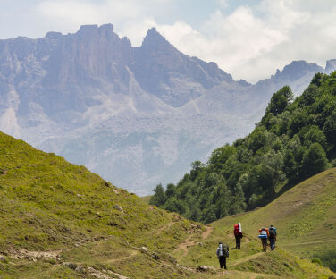
The majority of the route is a dirt road, while the rest is mountain paths. The paths are clearly visible everywhere and are fully marked. Follow the signs from the information board. A little bit ahead the road splits in two and you need to take the road on the left. Then after a while the road for cars comes to an end and splits in two once again. This time you need to take the one on the right. After 1.6km from here go to the right of the hill in front of you and then head to the left. After 1.2km you need to pass over the hill, at the top of which there is an amazing view of the surroundings. However, it is also possible to go around the hill to the right. After 1.7km you will end up on a road for cars. You need to turn right here. You will then encounter an old cemetery along the way and here you need to turn right at the crossroads. 2.4km after the cemetery the road branches off to the left, but you need to continue straight here.
Overall, the part of the route before the cemetery primarily passes through a treeless open area followed by a sparsely forested area. The route is primarily downhill or relatively flat with only some short ascents in some parts. The final destination is Chiragli village, which is only accessible by vehicle from the Goygol region, even though it is in the Dashkasan region.
It is also possible to hike this route the opposite way.
Nearby trails
You can connect this hike with the Javadkhan – Azgilli and Chiragli – Dastafur trails.
Seasonality
You can walk this route in all seasons.
Food and accommodation
There are shops in Chiragli village or along the way. So please take care to buy supplies before the trip.
Water
There is a spring 1km to the left of the information board. There are 5 more springs along the way, as well as some in Chiragli village.
Transportation
You can take either a bus or taxi to Togana village from the Goygol region bus station. Turn right at the crossroads by the restaurant “5 Ulduz” when you are heading towards Togana village after Hajikend village. After driving for 10km along a dirt road, you will reach the information board. The dirt road is only suitable for off-road vehicles. Therefore, it is advisable to take an off-road taxi from Goygol bus station unless you intend to walk the 10km part. It might be difficult to find one at the crossroads.
There is no road for cars after Chiragli village, so you can return to Azgilli village either by car or on foot, or continue walking to Dastafur village.
Permits & Specially Protected Areas
No special permissions are required to hike this route.
Warning
There are several shepherd camps along the route between May and October. So be careful of the shepherd dogs when passing by the camps. At the same time, shepherds can be helpful should you get lost or need shelter in unpleasant weather conditions.
Javadkhan peak – Chiragli trail
bookan adventure
Choose from a wide range of places to stay and tours to enjoy for the ultimate Azerbaijan travel experience.
other experiencesin Goygol
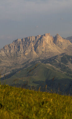
Hiking along the Chiragli trail-Javadkhan peak
Walking along this route which connects the Goygol and Dashkasan regions, you can enjoy magnificent... More
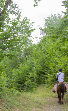
Hiking along the Soyugbulag – Mahrasa Temple trail
Walking along this trail connecting the Dashkasan and Gadabay regions, you can see the Maiden... More
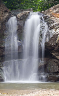
Hiking along the Amirvar – Mahrasa trail
Following this trail connecting the Dashkasan and Gadabay regions, you can see the Maiden Tower,... More
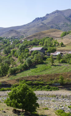
Hiking along the Chiragli – Dastafur trail
This trail connecting the Dashkasan and Goygol regions begins in the uniquely beautiful Chiragli village,... More
Hiking along the Dastafur – Chiragli trail
This trail connecting the Goygol and Dashkasan regions begins in Dastafur village, located on the... More
Hiking along the Chiragli – Azgilli trail
Walking along this trail connecting the Dashkasan and Goygol regions, you can see magnificent views... More
Hiking along the Javadkhan – Azgilli trail
Walking this route, which connects the Javadkhan peak with Azgilli village, you can enjoy magnificent... More
Hiking along the Azgilli – Javadkhan trail
Along this route connecting Azgilli village with the Javadkhan prak you can enjoy magnificent views of... More
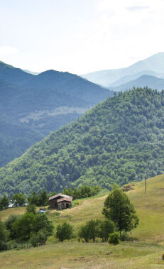
Hiking along the Azgilli – Chiragli trail
Walking along this trail connecting the Goygol and Dashkasan regions, you can enjoy magnificent views... More
Tour the Goygol Winery
Since 1860, Helenendorf, currently Goygol, is known as the birthplace of the wine industry in... More
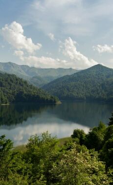
Be inspired by Lake Goygol
Located in the Goygol National Park, Lake Goygol is beloved by Azerbaijanis for its crystal-clear water... More
Visit German-inspired Goygol
Ganja has an interesting culinary take on different delicious desserts and dishes. Don't forget tasting... More


